
LROC October 2020 Release
This is a major release including multiple powerful new QuickMap features, along with many new and updated data layers. Most notably this update has expanded the numeric data layers that are available; at the same time providing powerful new tools to access and analyze that data, including interactive inspection of values and Data Cube extraction.
New Features
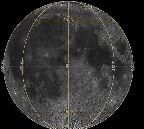
Improved Graticule
The Latitude/Longitude grid in 2D projections now has a better look and feel, updating dynamically as you move around the map.
Data Inspection & Plotting
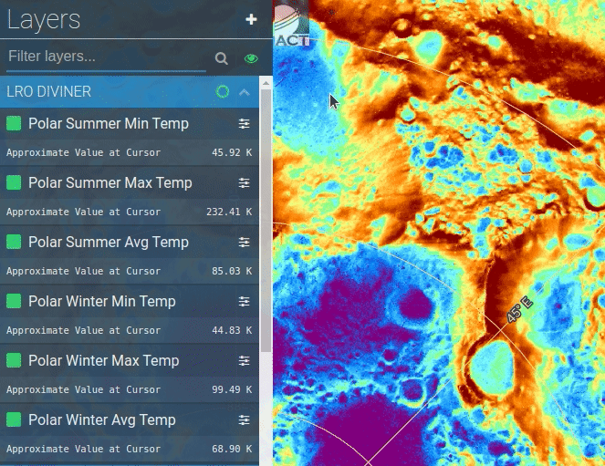
We’ve added many more ways to inspect and access the numeric data layers.
Dynamic Layers now show an approximate value at the cursor.
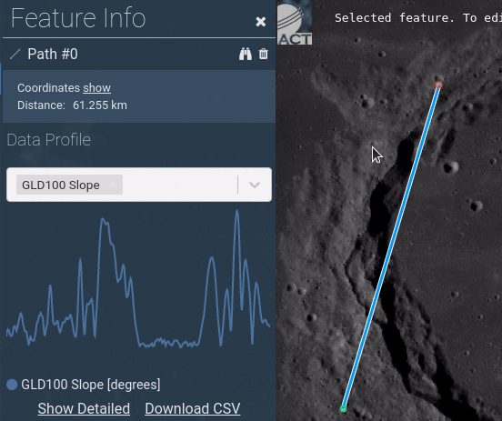
Our Draw & Search tools have been enhanced to allow extraction and download of all numeric datasets along point, line, and polygon geometries.
Here we compare reported slope values along a profile
Here we extract numeric data values in a 30km region around a drawn point. In the below example a data cube can also be downloaded by selecting ‘Show Detailed’ at the bottom of the list and selecting the products to be included in the datacube in the subsequent dialog

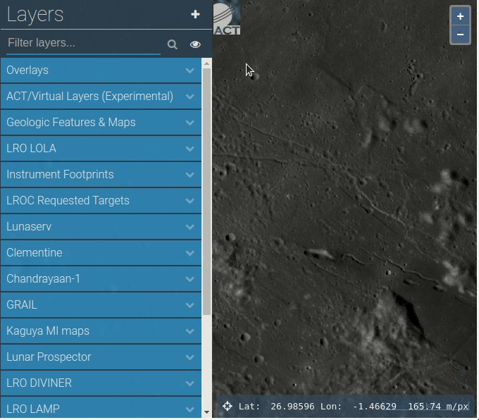
Enhanced Layer Tree
Improvements to the Layers Tree to make it more searchable. When searching the list, we now hide groups that don’t contain any matching layers. Also a new “Show Only Visible” option hides all layers in the tree that aren’t currently activated providing for a less cluttered experience.

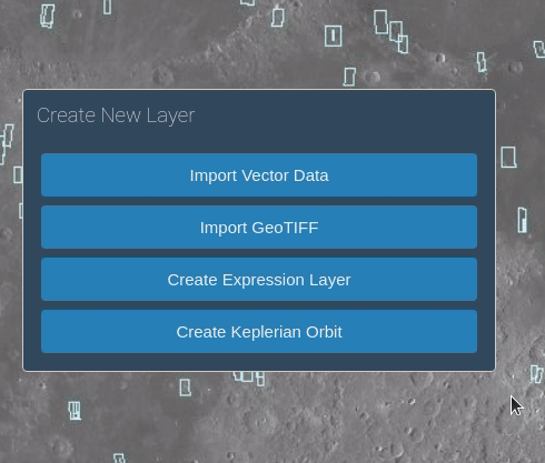
Import User Data (GeoTiff & Shapefile)
We’ve added capabilities to import GeoTIFF files reprojecting them onto the 2D views (3D GeoTiff viewing not currently supported).. This is an experimental feature working best in the latest version of Chrome. In this implementation, no data is transferred to the QuickMap servers, all the rendering is local.
.
Also we have extended support for importing Vector Data and now support Shapefiles (currently only those in lat/lon projection, .prj files are unsupported), along with the previously supported GeoJSON and CSV formats.
Create Keplerian Orbit
The ability to define an orbit path now can be done through the New Layer creation screen. Select ‘Create Keplerian Orbit’ and enter the position ( r ) and velocity ( v ) vectors in the subsequent menu.
Export/Import Search Features
Added capability to Export and Import your list of Search Features. The features are saved as GeoJSON to your local machine, and can be reimported when ready to continue work

Other Usability Enhancements
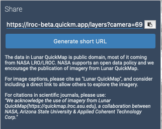
- Camera position now stored in permalink when tracking satellite or orbiting in 3D (example view in crater)
- Guidance on how to cite Lunar QuickMap on the Permalink pop-up
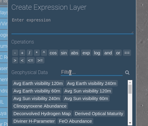
- Geophysical Parameters now filterable in Expression Builder
New Data
New Layers
WAC Hapke-Normalized
WAC+NAC+NAC_ROI_MOSAIC
NAC DTMs (Slope)
New Numeric Layers
West-Looking Polar CPR Mosaic
East-Looking Polar CPR Mosaic
West-Looking S-band mosaic
East-Looking S-band mosaic
WAC Hapke-Norm. 689 nm
WAC Hapke-Norm. 643 nm
WAC Hapke-Norm. 604 nm
WAC Hapke-Norm. 566 nm
WAC Hapke-Norm. 415 nm
WAC Hapke-Norm. 360 nm
WAC Hapke-Norm. 321 nm
Deconvolved Hydrogen Map
LAMP On- Off Band Ratio Map
Updated to Numeric
Clinopyroxene Abundance (wt%)
Derived Optical Maturity (OMAT)
FeO Abundance (wt%)
Olivine Abundance (wt%)
Orthopyroxene Abundance (wt%)
Polar Summer Avg Temp
Polar Summer Max Temp
Polar Summer Min Temp
Polar Winter Avg Temp
Polar Winter Max Temp
Polar Winter Min Temp
WAC Farside (big shadows)
WAC Mosaic
WAC Nearside (big shadows)
Removed Layers
WAC Hapke-Normalized Color [replaced with new Hapke Normalized layer]
Long/Lat Grid dynamic [replaced with new generated graticule]